Ground Control Points (GCP) are points used to adjust and georeference to ensure greater positional accuracy. GCPs must be clearly visible in the images, such as road intersections or manually placed black-and-white target plates, and should be distributed throughout the area being image. After that, coordinates are collected, commonly using Real-Time Kinematic (RTK) GNSS receivers, which can provide centimeter-level accuracy in just a few minutes of surveying per point. The collected data is then processed in software to enhance the positional accuracy of the resulting images.
Is there another method that allows users to obtain aerial photogrametry with centimeter-level positional accuracy without the need for GCPs? The answer is "Post Processed Kinematic (PPK)." The PPK system must be used in conjunction with a drone or UAV equipped with a GNSS receiver. The principle of operation involves recording GNSS data (GNSS log file) while the drone is surveying. Once the flight is complete, users simply process the GNSS log file together with the log file downloaded from the base station, which is set up on a known benchmark or from a GNSS network distributed across the country. This method is more convenient and faster than placing GCPs, and PPK can also be used in areas where GCPs cannot be established.
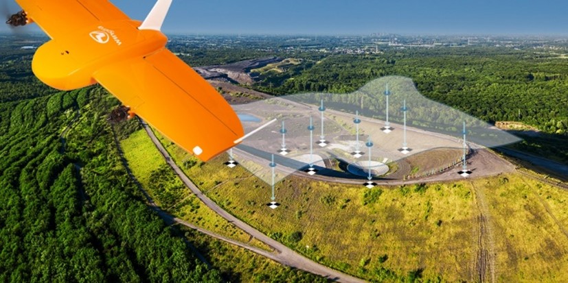
If users are facing challenges with GCP placement and are looking for a UAV with a high-accuracy PPK system, the company offers the WingtraOne GenII, a vertical take-off and landing (VTOL) UAV equipped with PPK capabilities. It also allows users to select the appropriate payload for various types of work, including RGB cameras, LiDAR, oblique cameras, RedEdge, and more.
Is there another method that allows users to obtain aerial photogrametry with centimeter-level positional accuracy without the need for GCPs? The answer is "Post Processed Kinematic (PPK)." The PPK system must be used in conjunction with a drone or UAV equipped with a GNSS receiver. The principle of operation involves recording GNSS data (GNSS log file) while the drone is surveying. Once the flight is complete, users simply process the GNSS log file together with the log file downloaded from the base station, which is set up on a known benchmark or from a GNSS network distributed across the country. This method is more convenient and faster than placing GCPs, and PPK can also be used in areas where GCPs cannot be established.
If users are facing challenges with GCP placement and are looking for a UAV with a high-accuracy PPK system, the company offers the WingtraOne GenII, a vertical take-off and landing (VTOL) UAV equipped with PPK capabilities. It also allows users to select the appropriate payload for various types of work, including RGB cameras, LiDAR, oblique cameras, RedEdge, and more.