Our Surveying Instruments Division delivered the Trimble R8s GNSS and provided a 3-day training course to teachers and students at the Faculty of Agriculture, Natural Resources, and Environment, Naresuan University.
On the first day, our product specialist started with the theoretical session: the basics and fundamentals of GNSS surveying, parts of GNSS, and accessories, including maintenance.
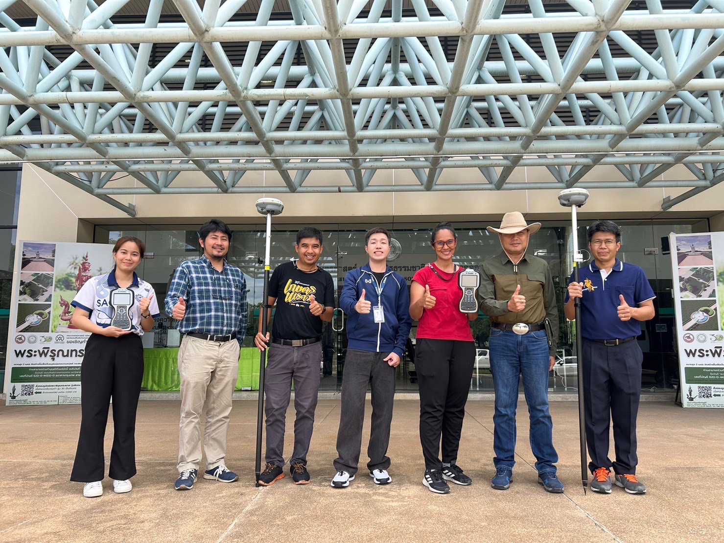
Field training was provided on the second day. We did the GNSS static surveying on the reference points in front of the department building and compare the result. It showed that the accuracy was only a few millimeters. We also used the Real-Time Kinematic (RTK) to collect topographic surveying data and used the measure code function to categorize the point. Measure code enabled a much easier way to collect data in the field and digitize the map in the office.
On the last day of training, we combined the two sets of data from static and RTK data, created the surface from points, generated contours, and accurately overlaid them on Google Earth.