Tel : 0-2653-8255 , 085-121-2301 | Import and distribute Trimble & Nikon

Trimble MX 50 Mobile Mapping System
Trimble MX 50 Mobile Mapping System
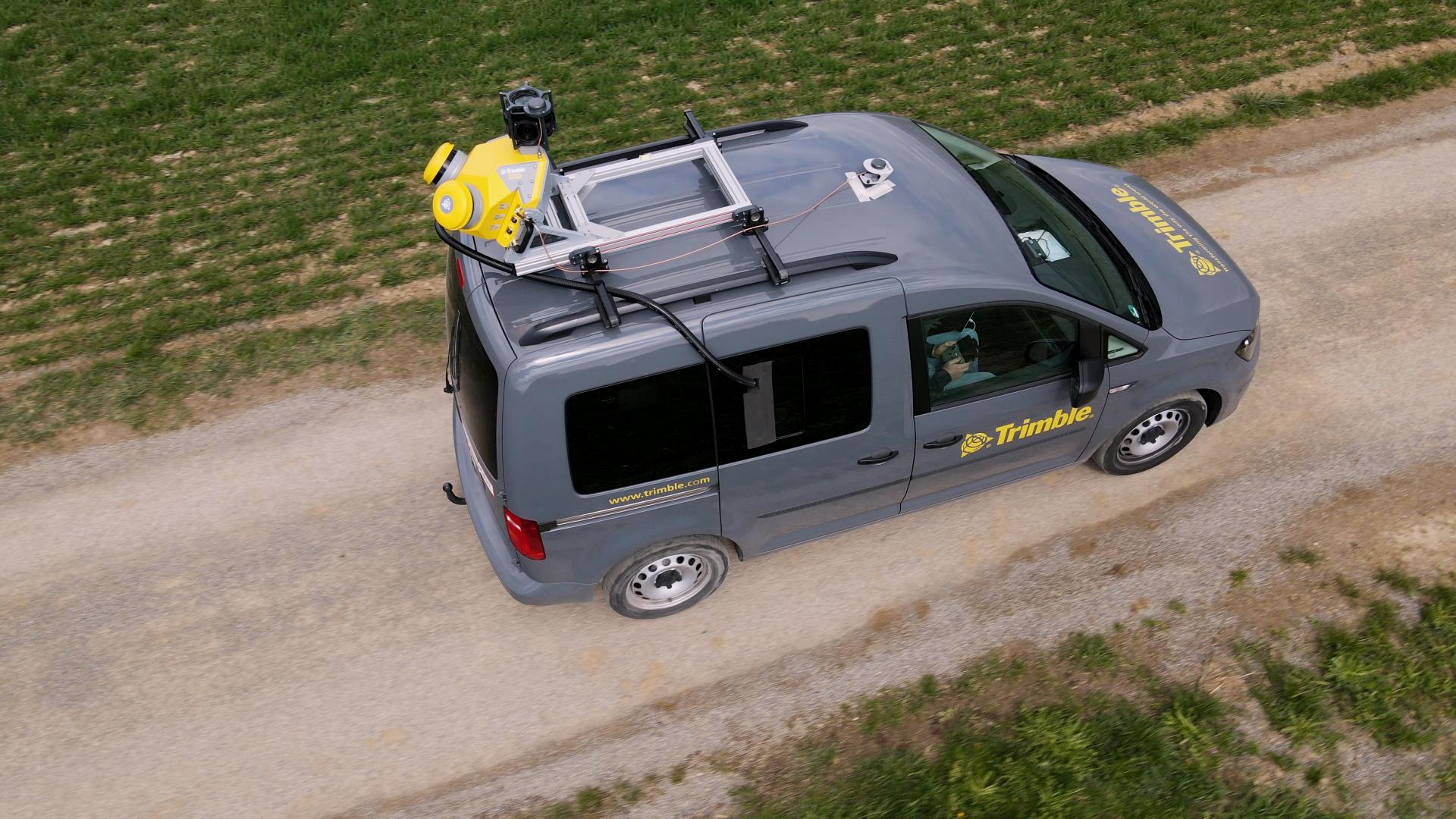
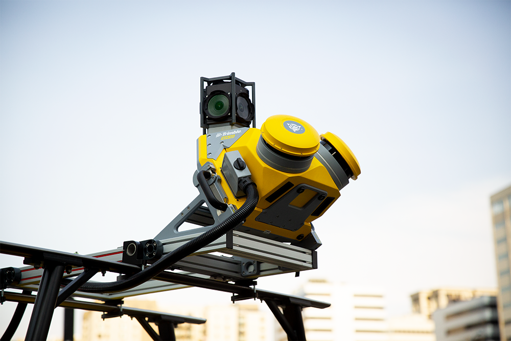
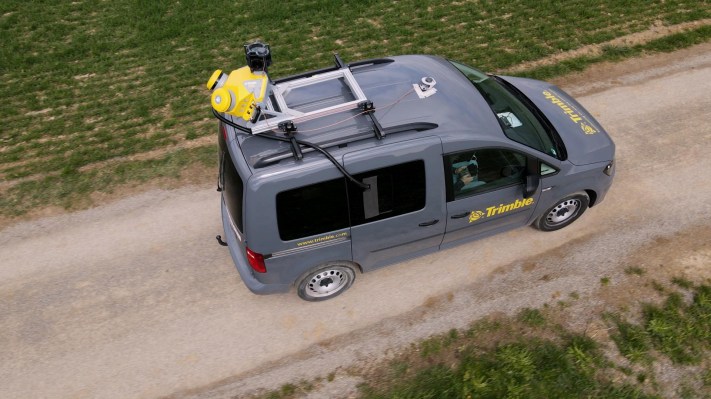
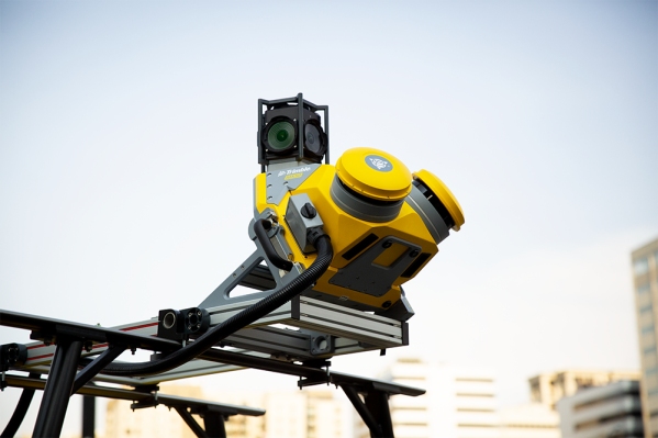
Whether for highway management, utilities, or local government the Trimble MX50 puts you in control of your data capture project. The system does not require specific expertise and is simple to install and operate.
Complementary point clouds and images provide you with all you need to extract asset location, size, condition, and other inspection and attribute information.
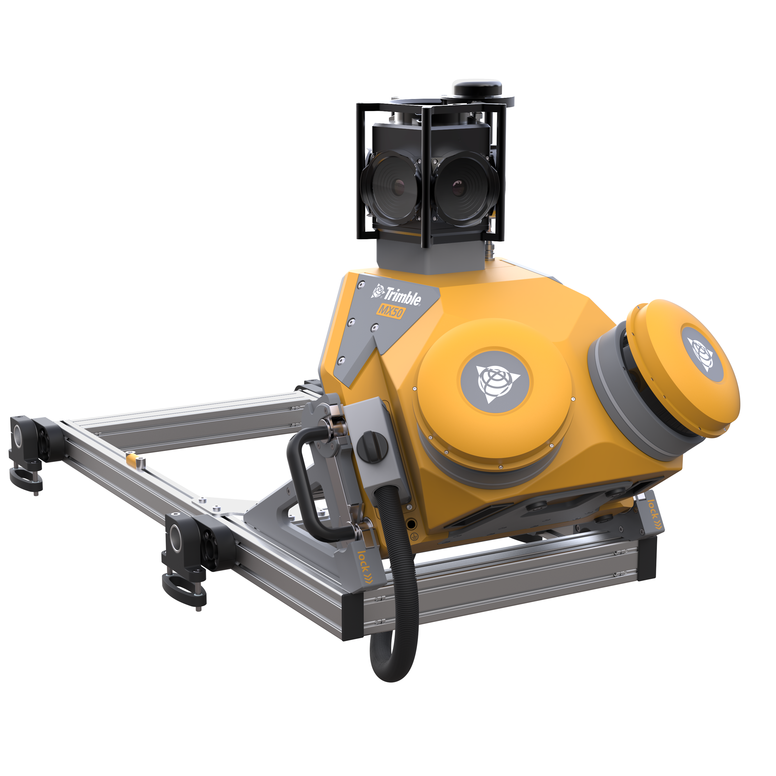
The Trimble MX50's accurate point cloud underpins your ability to locate and measure your assets, whilst 360° imagery allows for the determination of inspection data and feature attribute information.
Whether for highway management, utilities, or local government the Trimble MX50 puts you in control of your data capture project. The system does not require specific expertise and is simple to install and operate.
Complementary point clouds and images provide you with all you need to extract asset location, size, condition, and other inspection and attribute information.
The Trimble MX50's accurate point cloud underpins your ability to locate and measure your assets, whilst 360° imagery allows for the determination of inspection data and feature attribute information.


คำอธิบาย
Key Features
- Practical Mobile Mapping system combining precise LiDAR data and immersive panoramic imagery
- State-of-the-art Trimble LiDAR technology integrated with a proven and reliable mobile platform
- Accurate point cloud for applications such as road surfaces, highway maintenance, or asset management
- Simple system installation and intuitive browser-based operation
- Complete field-to-finish workflow, provided by Trimble—capture, process, extract, and share
บทวิจารณ์
ยังไม่มีความคิดเห็นสำหรับสินค้าชิ้นนี้