Tel : 0-2653-8255 , 085-121-2301 | Import and distribute Trimble & Nikon

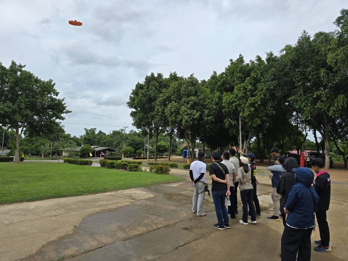
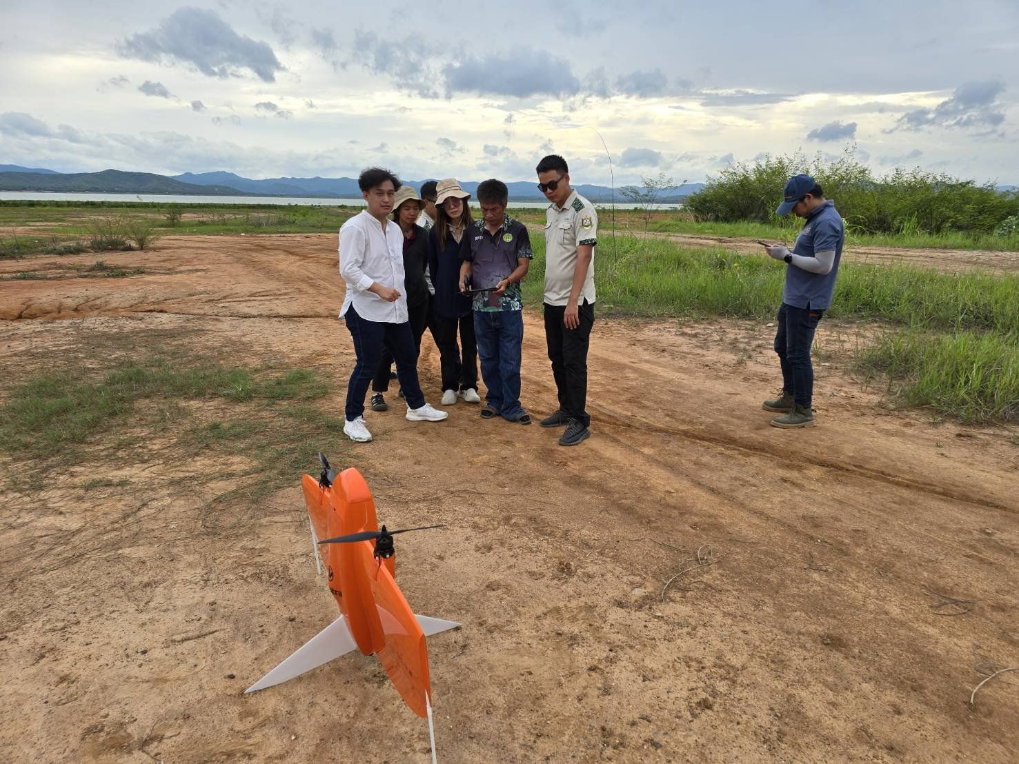
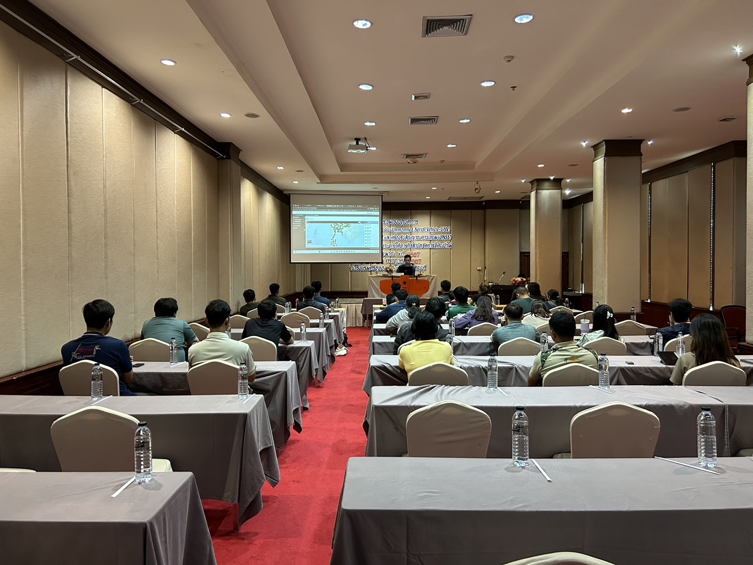
Training on the operation of the WingtraOne Gen II unmanned aerial vehicle (UAV) for aerial photogrammetry and the Trimble R8s GNSS receiver.
From July24-26,2024, the Survey Instrument Division had the honor of serving as instructors for a seminar and training on the use of the WingtraOne Gen II unmanned aerial vehicle (UAV) for aerial photogrammetry, as well as the Trimble R8s GNSS receiver, for the officials of the Forestry Department in Suphanburi Province.
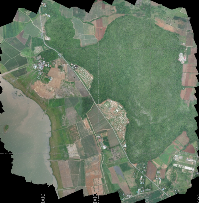
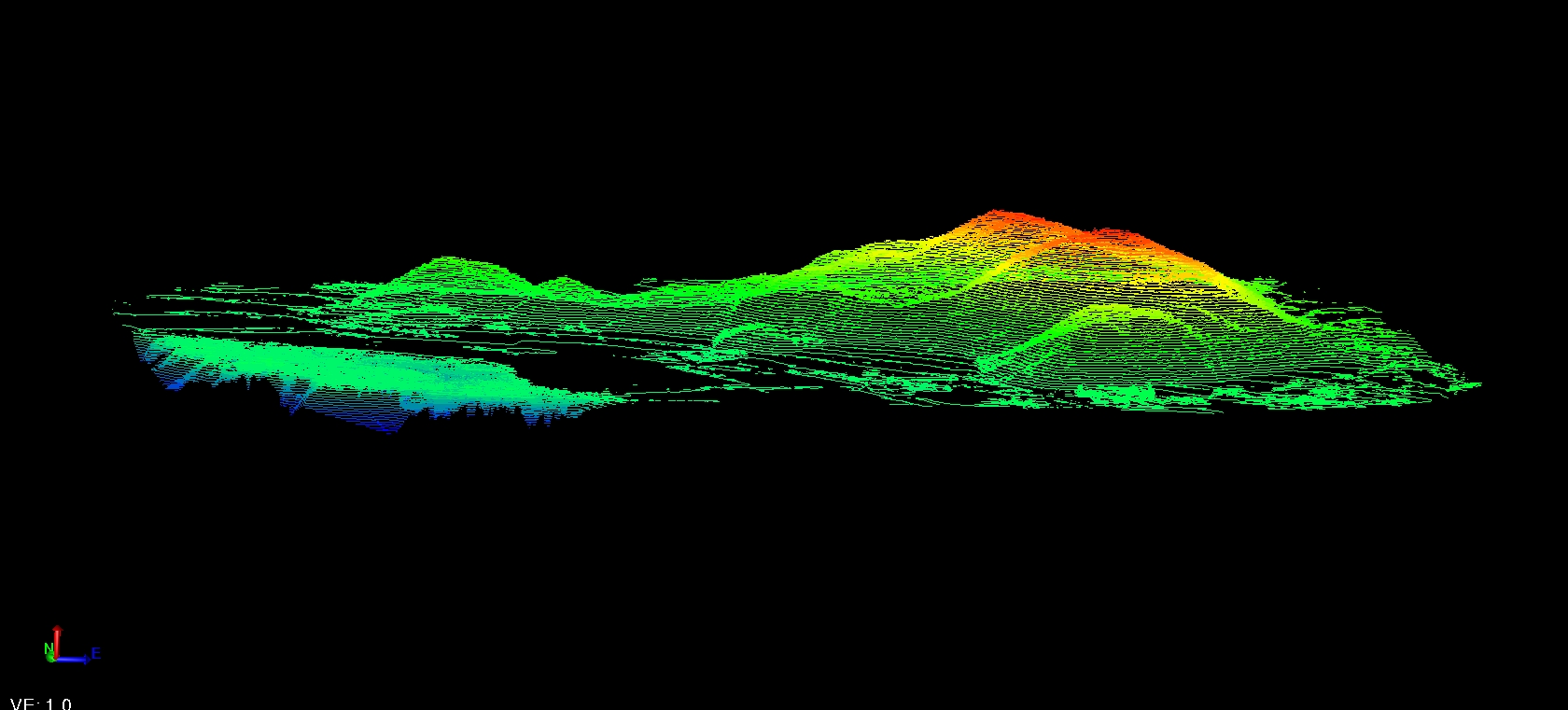
The Forestry Department officials engaged in hands-on practice with the actual equipment and learned how to process aerial images, as well as how to display data such as Orthoimages, DSM, DEM, and Point Clouds with high accuracy. This knowledge will be applied in land analysis and forest management in the future, with close supervision from the instructors provided by the company.

